
3 minute read
Nx Go in Generation 6
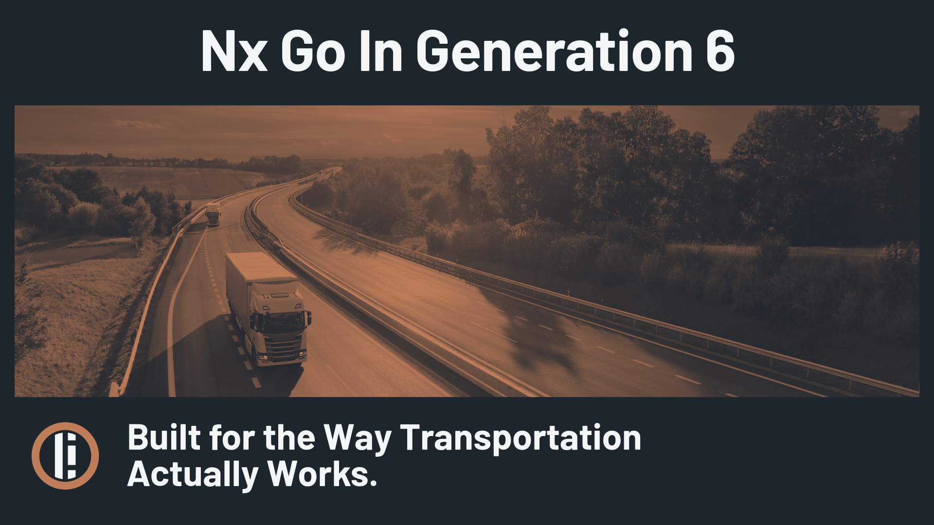
If you manage transportation infrastructure, you already have cameras. Probably a lot of them. Intersections, corridors, transit hubs, highway on-ramps. The footage is there. The sensors are there. The LiDAR might even be there. What's usually missing is a way to pull it all into one place.
Video sits in one system, sensor data in another, LiDAR in a third. When something needs attention, someone is toggling between platforms and piecing together a picture from fragments. The infrastructure is generating data constantly. The operations team just doesn't have a clean way to use it.
That's the gap Nx Go was designed to fill. And with Generation 6, it has a brand new set of capabilities that bring it closer to being the operational backbone that transportation teams have been trying to build from scattered parts.
What is Nx Go?
Nx Go is Network Optix's enterprise video software for the transportation sector. It's built on Nx EVOS and designed to bring video, LiDAR, and sensor data from distributed infrastructure into one operational view.
It doesn't replace what you already have. It connects to it. Traffic cameras, signal systems, in-vehicle sensors, IoT devices, fleet tools. All of it can feed into one interface, giving operators a real-time picture of what's happening across their network without jumping between systems.
How Does Nx Go Fit Into Generation 6?
Nx Go is built for the enterprise environment and comes with these Generation 6 features.
- Nx Maps. Nx Maps is a GIS-based 2D/3D mapping tool that lets operators place devices on geographic or image-based maps, configure camera direction, pull up live feeds from the map, and see visual alerts tied to events. For Nx Witness and Nx EVOS, Nx Maps is a paid add-on. For Nx Go, it's included with the base Nx Core Service.
- It plugs into ArcGIS. Nx Go works with Esri's ArcGIS Online and ArcGIS Enterprise, so cameras, vehicles, and events show up on the same maps your agency already maintains. No parallel GIS environment, and no duplicate spatial data. It meets teams where they already work.
- Nx AI Manager is available as a paid add-on. As a Gen 6 Enterprise product, Nx Go supports Nx AI Manager for organizations that want to run AI analytics, like vehicle detection or classification, directly on their camera streams.
Updates don't come in monolithic bundles anymore. Gen 6 decouples the platform stack. Nx Cloud, Nx Connect, Nx AI Manager, and other components update on their own cycles. For Nx Go deployments, that means improvements arrive continuously instead of waiting for one big release.
Where is Nx Go Being Used Right Now?
The most visible Nx Go deployment in the U.S. is at Curiosity Lab in Peachtree Corners, Georgia. If you follow the smart city space at all, Peachtree Corners has become one of the go-to proving grounds for connected infrastructure in the country. It's a 5G-enabled living lab with C-V2X roadways, autonomous vehicle corridors, and a dense network of sensors, LiDAR, and intelligent traffic systems.
Network Optix partnered with the city in 2024 to integrate Nx Go into the Curiosity Lab IoT Control Room, making it the first full-scale deployment of the platform in the United States. Inside that control room, Nx Go aggregates traffic camera feeds, LiDAR data, and sensor inputs from across the city's infrastructure into one operational interface. It covers signal fixtures, crosswalks, and real-time communication with connected and autonomous vehicles on the city's three-mile test corridor.
The deployment has only grown since then. In April 2025, Curiosity Lab added NVIDIA L4 Tensor Core GPUs to its infrastructure, paired with Nx Go to accelerate real-time AI and edge computing across the ecosystem. By August 2025, the platform was being showcased at the ITS World Congress as the mobility operations layer powering the city's connected infrastructure.
Who Should Be Looking at Nx Go?
Nx Go is built for transportation agencies, municipal traffic operations, fleet operators, and smart city programs. If you're managing a large distributed sensor network and you're tired of stitching together a picture from five different platforms, this is designed to be the consolidation layer.
For teams evaluating how to bring their infrastructure data under one roof without ripping out what's already installed, Nx Go in Gen 6 is worth a serious look.
Frequently Asked Questions
What is Nx Go? Nx Go is Network Optix's visual infrastructure intelligence software for the transportation sector. Built on Nx EVOS, it unifies video, LiDAR, and sensor data from distributed infrastructure into a single operational view.
How is Nx Go different from Nx Witness? Both are built on the Nx EVOS platform, but Nx Go is a separate product with a roadmap focused on transportation. It includes features like GIS calibration, V2X integration, and fleet management.
Does Nx Go include Nx Maps? Yes. Nx Maps is included with the base Nx Core Service for every Nx Go deployment.
Does Nx Go work with ArcGIS? Nx Go integrates with Esri ArcGIS Online and ArcGIS Enterprise, allowing agencies to place cameras, vehicles, and events on the GIS maps they already use.
Can Nx Go run AI models? Nx AI Manager is available as a paid add-on for Nx Go, enabling AI-driven analytics like vehicle detection and classification on existing camera streams.
Where has Nx Go been deployed? The first full-scale U.S. deployment is at Curiosity Lab in Peachtree Corners, Georgia, a 5G-enabled smart city environment where Nx Go serves as the central operational layer for connected transportation infrastructure.